|
|
|
|
|
|
|
|
|
|
|
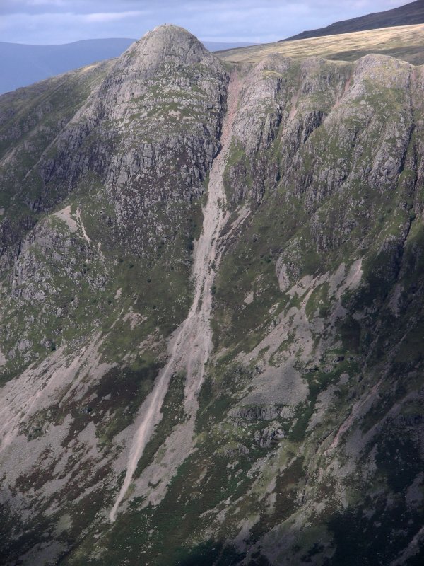
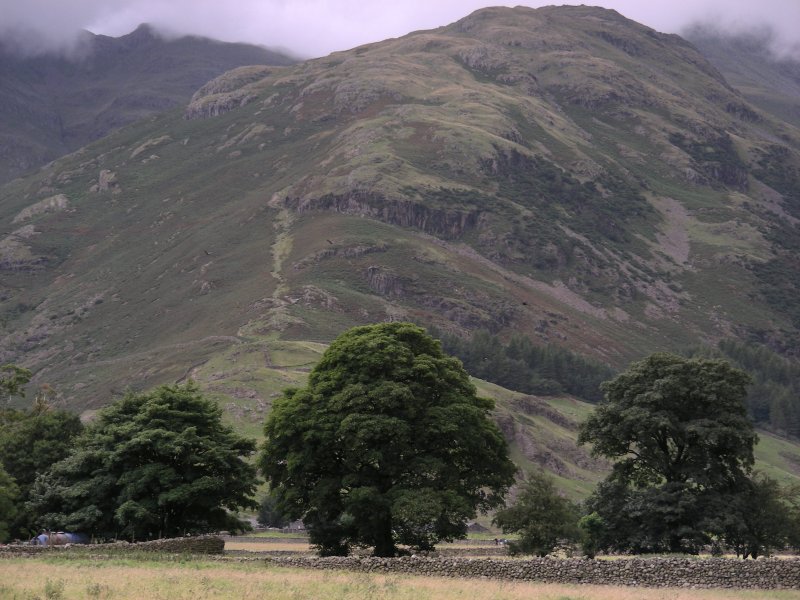
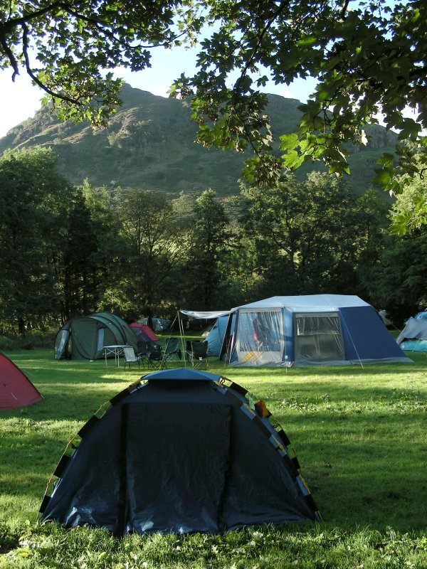
Great Langdale Valley, Lake District, Cumbria 20th August - 22nd August 2010 [2] |
 |
|
|
|
|
|
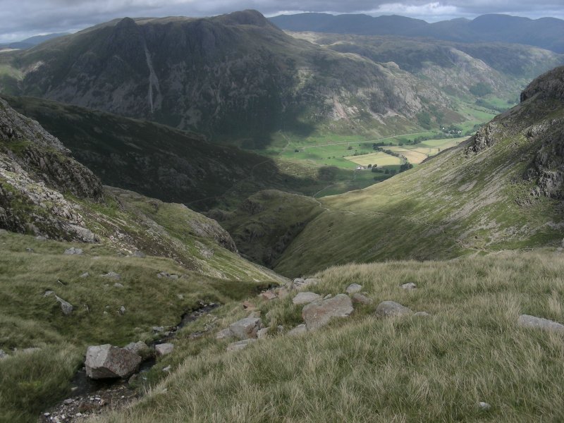
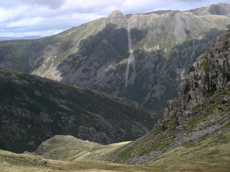
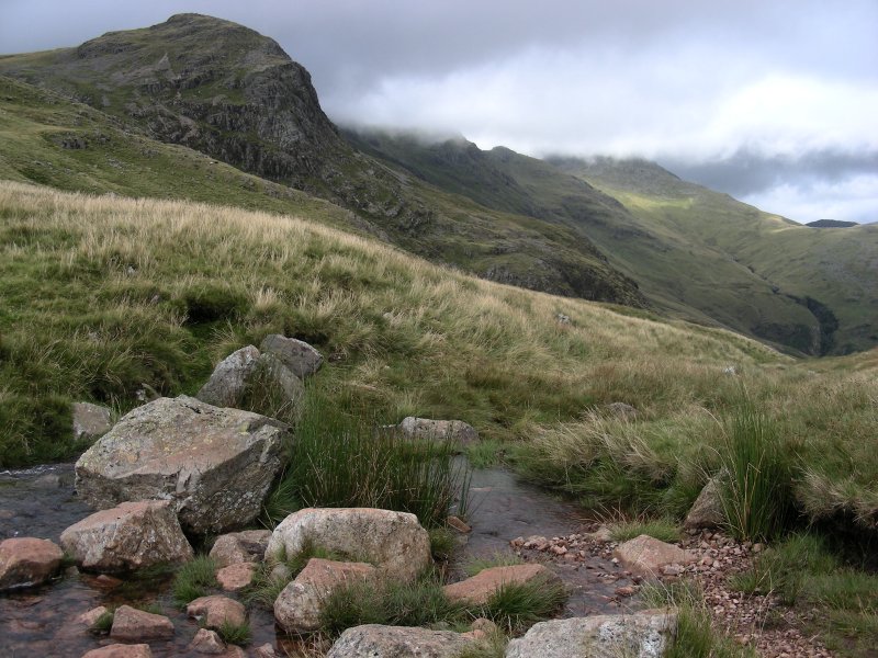
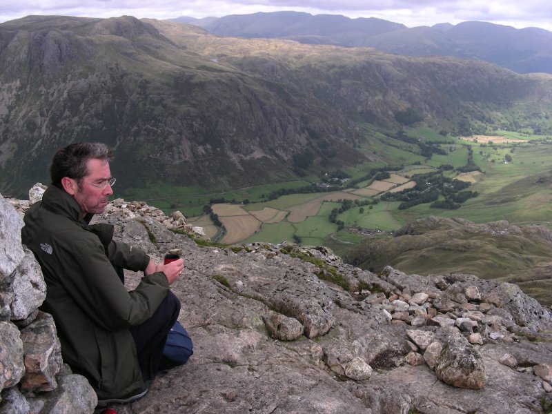
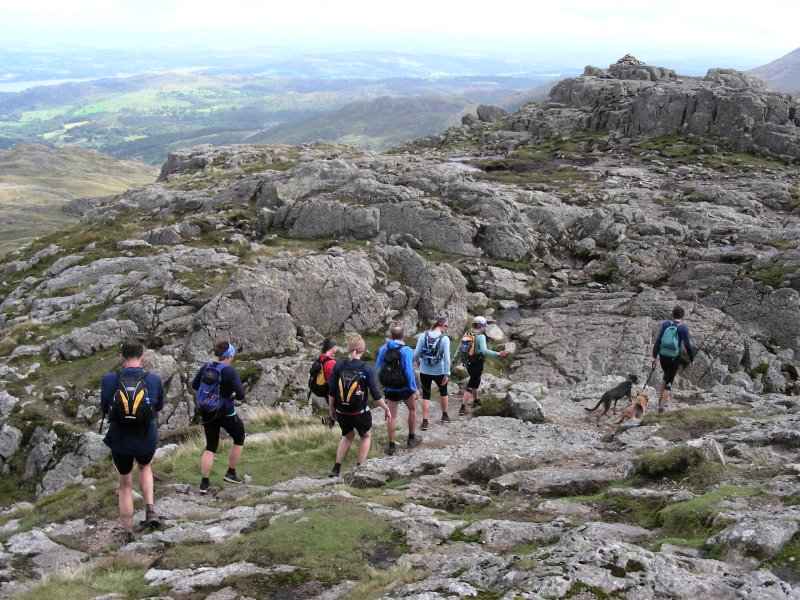
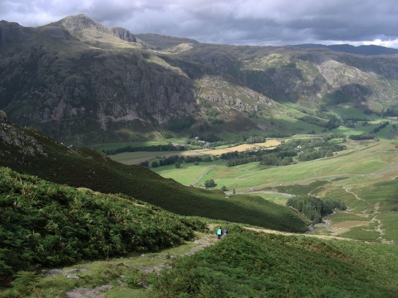
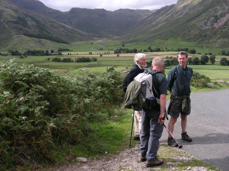
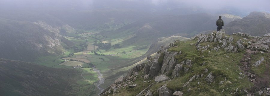
| Just below the Bad Step on the second-last Crinkle, we stopped for lunch during which time the mist gradually began to clear towards Great Langdale Valley, the path down to Red Tarn now visible. Bernard managed to pack in forty winks before we pressed on down, negotiating the remaining Crinkle before reaching Cold Pike. Now well below the cloud line, we marvelled at the magnificence of Great Langdale Valley. At Red Tarn two options were open to us. Bob and Bernard elected to descend down Browne Gill to Oxendale, whilst Dave, Tim, John and I opted for the cairn on Pike of Blisco, where the views were even better, with Pike of Stickle and the Langdale Pikes located directly across on the other side of the valley. Just then a group of mostly female fell runners put in an appearance, on this occasion out on a practice run, dancing across the rocks to the cairn on the summit. The most animated girl in the group whose leggy good looks also did not go unnoticed according to Dave, displayed an unmistakable fanaticism in the sport, happily engaging in a conversation with Tim Porter, before they all haired off down and picked up the trail. | |
|
|
|
|
|
|
|
|
|
|
|
|
|
|
|
|
|
|
|
|
|
|
|
|
|
|
|
|
|
|
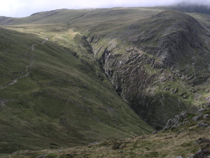
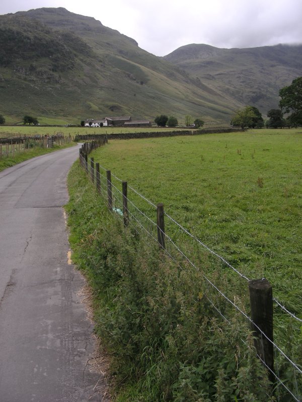
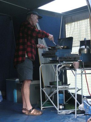
| From here the descent took us down to a ravine between Pike of Blisco and Wrynose Fell, lined with thick fern, eventually reaching the road next to Redacre Gill that ascends from Great Langdale in loops and bends over Side Pike cattle grid, joining it to Little Langdale. Ensconced in the beauty surrounding me and engrossed in my photography, I got somewhat left behind and then hurried on down to join them. Once the road drops down into the valley, the path back leads directly to the furthest end of the campsite. We learnt later that Martin had gone up Browne Gill, thinking we had taken this option. By his account, by the time he reached Crinkle Crags the cloud had dispersed. It has been argued that this approach gives one a full appreciation of Crinkle Crags, whilst their significance is somewhat diminished when traversed from the loftier Bowfell Pike. After a shower, it was time to prepare for the evening meal. Tim and Bob had assumed responsibility, having already headed off to Windermere to do the shopping, concerned by the return traffic they witnessed whilst driving there. Their fears were allayed however, as it had cleared entirely by the time they made their return journey. Maeve had very kindly brought over some cake for dessert though some confusion arose after Tim and Bob also returned with an alternative after dinner sweetener. Needless to say, after the combination of a rewarding day's activity and the subsequent filling of the belly, I retired to my tent and the sound of my iPod, though, to be frank, I do not recall making it past the first song. | |
|
|
|
|
|
|
|
|
|
|
|
|
|
|
|
|
|
|
|
|
|
|
|
|
|
|
|
|
|
|
|
|
|
|
|
|
|
|
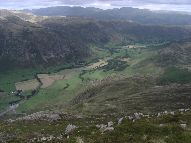
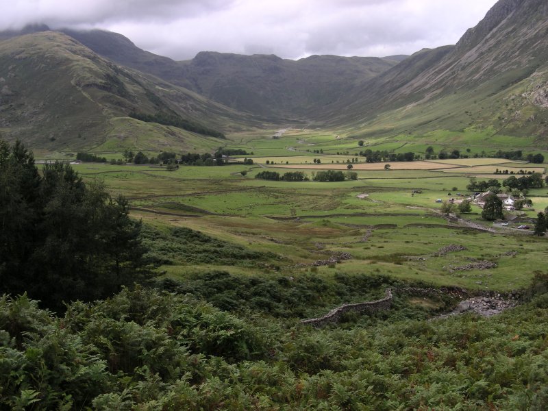
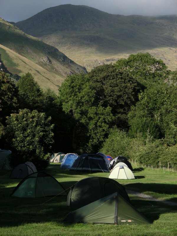
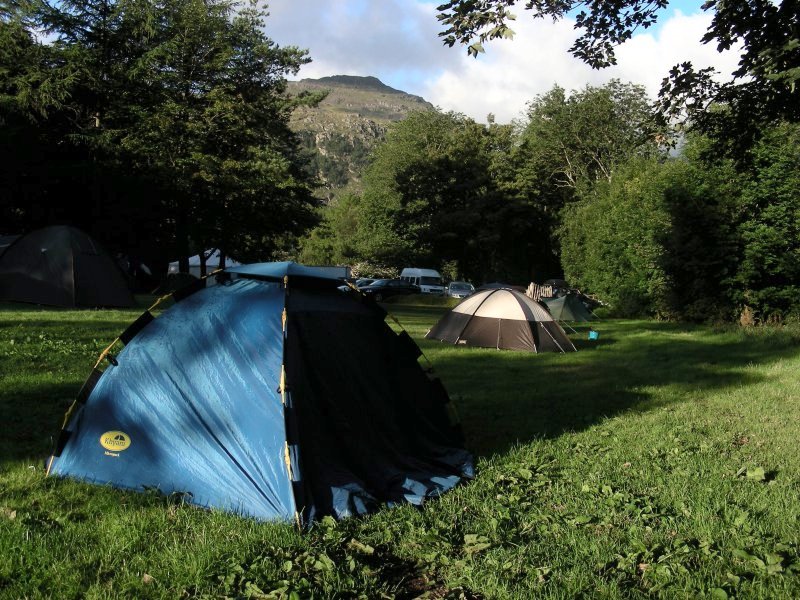
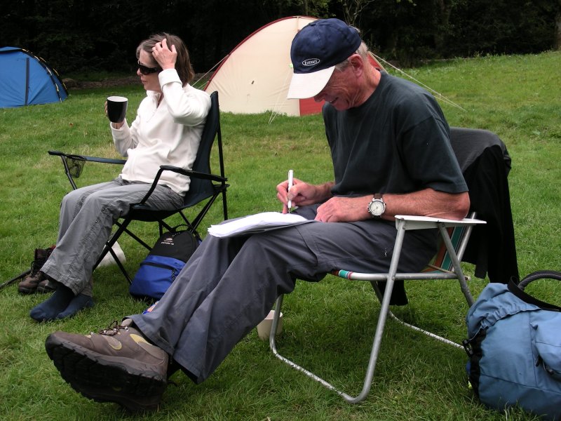
| As luck would have it, the sun came out the next day and bathed the valley and campsite in warmth. The Great Langdale Valley is some 12,170 acres, much of it in the care of the National Trust, who own ten farms. The valley stretches from Ambleside through Clappersgate, Skelwith bridge, Elterwater, Chapel Stile, to the National Trust owned Dungeon Ghyll Hotel, and the glaciated valley of Mickleden. The surrounding fells include Pike of Blisco, Crinkle Crags, Rossett Pike, and the Langdale Pikes - Pike of Stickle, Harrison Stickle and Pavey Ark. Bob and I hung around to assist in the dismantling of the mess tent and the carrying of its contents to the John's car. The job doesn't end there as it might do for the rest of us. Martin and John are invariably still saddled with an additional cleanup once they reach home. We finally hit the road around midday, thankfully devoid of traffic of any major description, bringing a thoroughly enjoyable Lakes weekend to a close. | |
 |
|
|
|
|
|
|
|
|
|
|
|
|
|
|
|
|
|
Lake District (Great Langdale) camping [1] [2] [UK - index] [Home Page] |
|
|
|
Links to other websites:
|