|
|
|
|
|
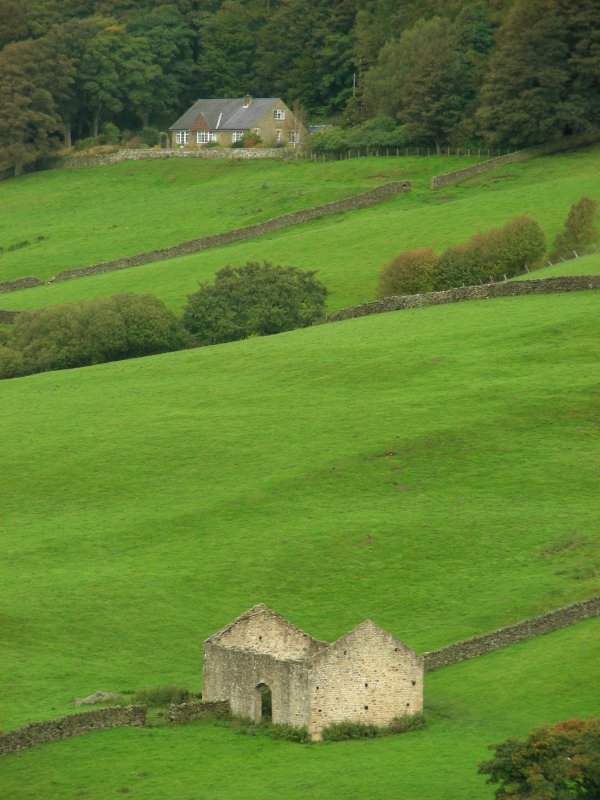
Fountains Abbey, Studley Park & The Nidderdale Way, North Yorkshire 16th - 18th September 2011 [2]
|
 |
|
|
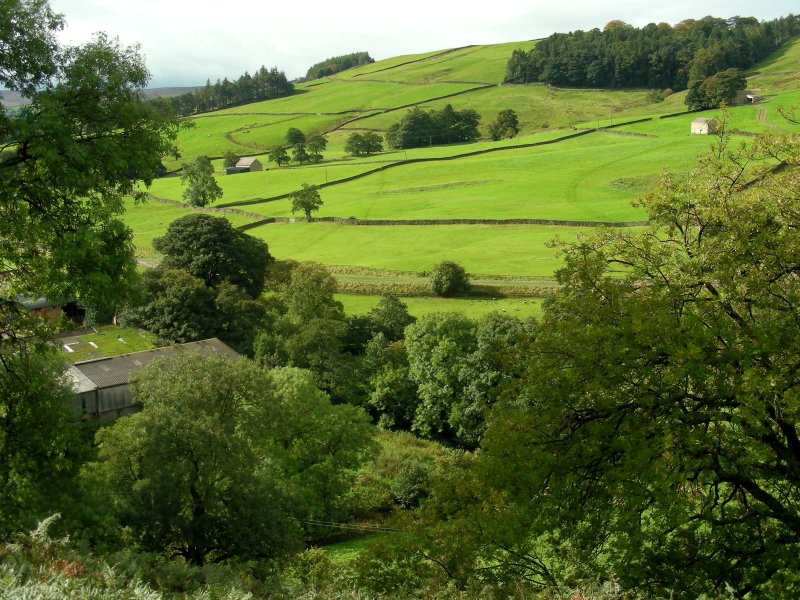
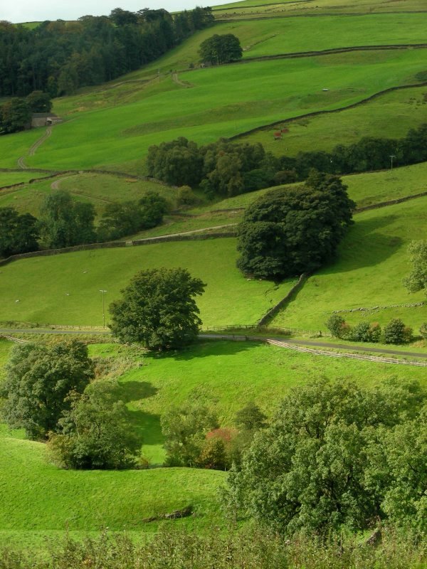
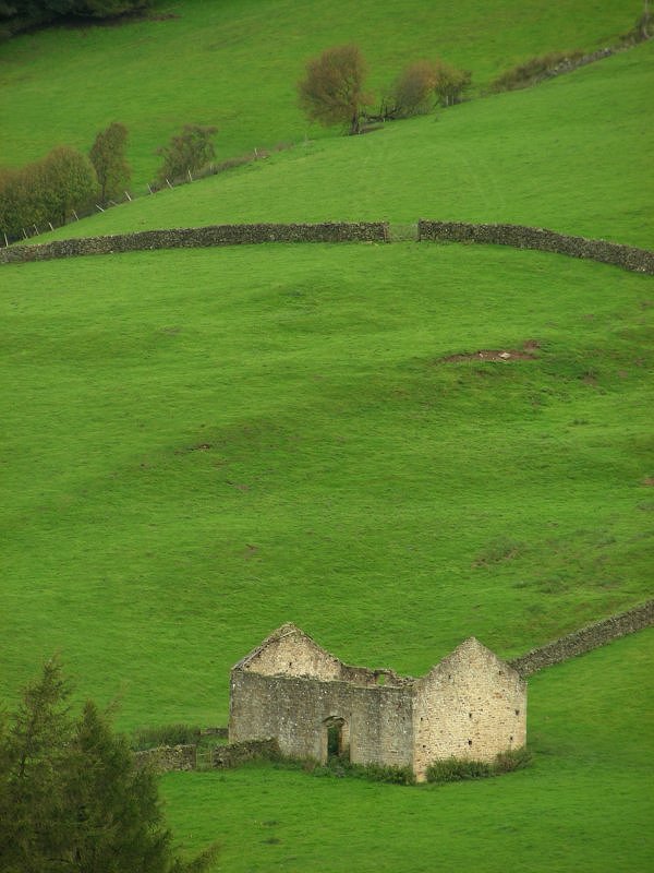
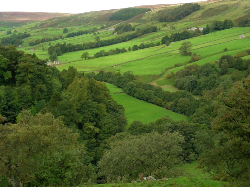
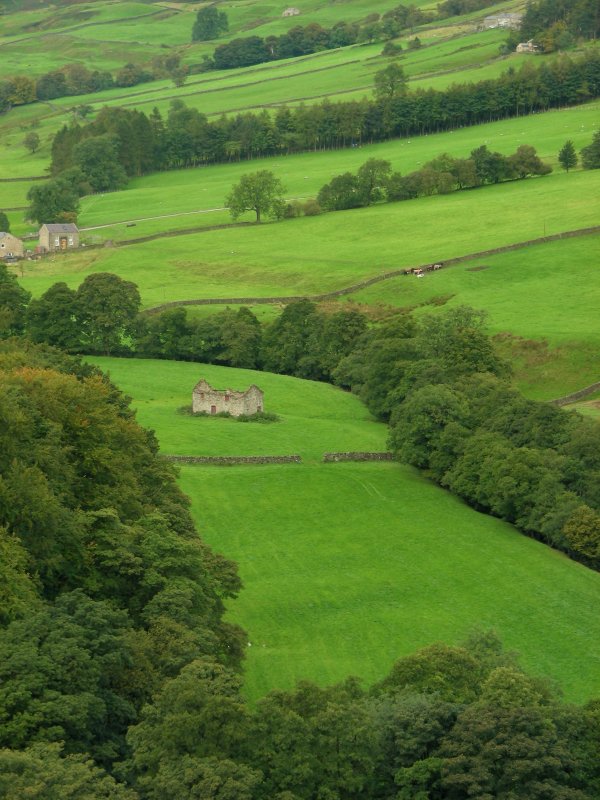
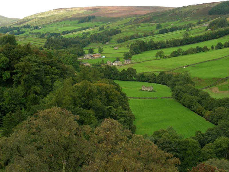
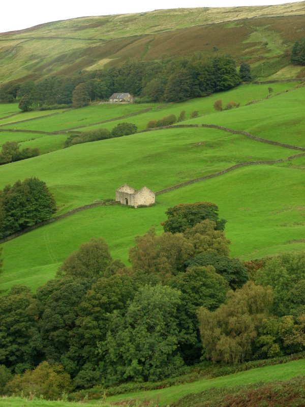
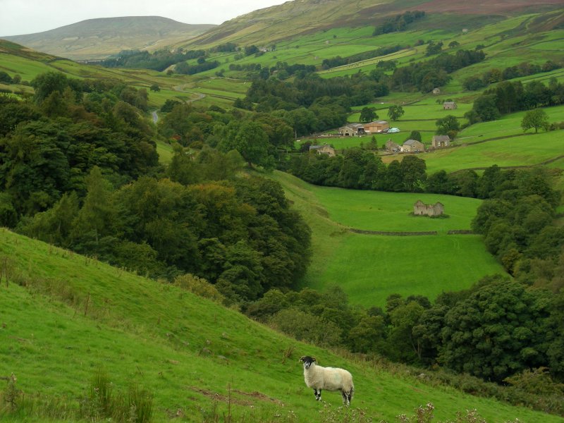
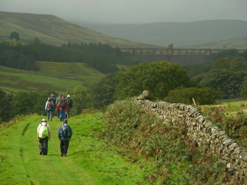
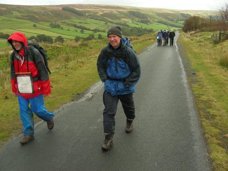
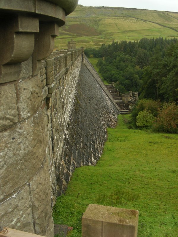
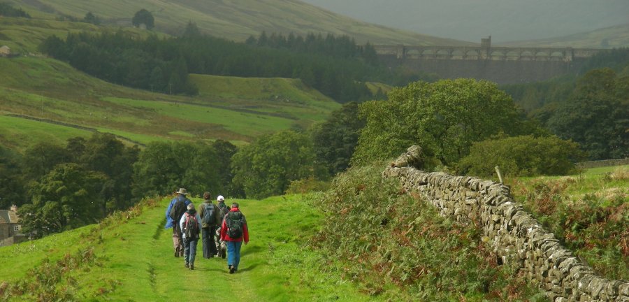
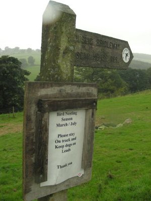
| Scar House Reservoir is the second of the three reservoirs in Upper Nidderdale, the others being Angram Reservoir and Gouthwaite Reservoir. The dam at Scar House contains over one million tonnes of masonry, it rises to 55 metres above the river and is almost 600 metres long. It was completed in 1936. Scar House was the last reservoir to be built in the Nidd Valley and took fifteen years to complete, stone for the reservoir dam was quarried from the quarry on Dead Mans Hill on the north side, where steam houses can still be seen. Returning to the reservoir wall, the return path can be found a short distance up the road above the reservoir, running across Scar House Pasture to the top of the rise on the edge of the valley. Here it picks up a rough stone-filled track flanked on either side by a farm wall, which runs in a straight line down the hillside, descending towards the farming town of Middlesmoor. Gouthwaite Reservoir could be seen in the distance silhouetted by the late afternoon sun. We stopped along this track for a short tea break. I drained the last of the tea from my flask and savoured a choc-chip brioche. It was a glorious moment and we realised how lucky we had been all day as regards the weather, which had been most kind to us. It had lifted my spirits and I had thoroughly enjoyed the day's walk. No doubt, in poor weather, this would have been an entirely different experience. |
|
||||||||||||||||||||||||||||||||||||||||||||||||||||||||||||||||||||||||||
|
||||||||||||||||||||||||||||||||||||||||||||||||||||||||||||||||||||||||||
|
|
|
|
|
[UK - index] [Home Page] |
|
|
|
Links to other websites: |
|
|
|
|
|
|
|
|
|
|
|
|
|
|
|
|